Day 1 - Moreton-in-Marsh to Ascott - 11.3 miles
Our first day starts by walking within three shires - from Gloucestershire to Warwickshire and into Oxfordshire. We follow the Rollright ridge along a former saltway with wide views north, pass an ancient stone circle and discover carvings of Norman beakheads and Jonah being swallowed by a very thin whale!
Day 2 - Ascott to Edgehill - 10.7 miles
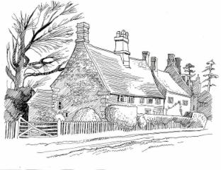
A day walking, in part actually on the country boundary along Ditchedge Lane, with wide views west across Warwickshire. It is ironstone country and the houses and fields are a deep orangey-rust colour. The day ends with a high level walk along the scarp of Edgehill, above the site of the indecisive Royalist battle in 1642.
Day 3 - Edgehill to Claydon - 10.2 miles
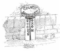
A day travelling east, then north to our destination, to be near to where three shires - Oxfordshire, Warwickshire and Northamptonshire - meet at the northern tip of Oxfordshire. We see from the lynchets and ridge and furrow that medieval farmers ploughed this land, and there is an opportunity to date a hedge.
Day 4 - Claydon to Middleton Cheney - 7.9 miles
We start our journey south along the eastern boundary of Oxfordshire. We cross into the fourth shire, Northamptonshire. In the church of Chacombe, someone in medieval times made fun of the Bishop, and at Middleton Cheney there are the beautiful colours and design of the William Morris and Burne-Jones windows.
Day 5 - Middleton Cheney to Souldern - 10 miles
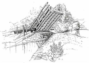
The journey continues south, with the River Cherwell forming much of the boundary. The canal-side walk gives an insight into the transport of goods before the railway and the motorway. We pass the fifty miles point in Souldern where the day ends, as it began, with a chamfered corner.
Day 6 - Souldern to Finmere - 11.2 miles
A day travelling eastwards to meet the fifth shire, Buckinghamshire. We pass through the tiny hamlet of Juniper Hill or 'Larkrise' of Flora Thompson fame and cross the infant River Great Ouse on its journey east to the Wash.
PLEASE NOTE A ROUTE CHANGE (2019) - see the Updates page for the new route
Day 7 - Finmere to Ludgershall - 10.2 miles
This day marks a gradual change of the landscape as we walk through Oxfordshire and Buckinghamshire. The Aylesbury clay vale provides no stone, so many houses are built of brick. Much of the land has been reclaimed from marsh; village names give clues to the watery surroundings.